WANTED: YOUR IDEAS FOR THE NAMING OF THE SOUTHBOROUGH HUB
The Southborough Society are seeking your help in coming up with a name for the newly built Southborough Hub, and rooms within the building, that we can put forward to Southborough Town Council (STC) who will then make the final decision.
Southborough and High Brooms has a great deal of history, so there is a wide choice of possible names to link the new building to people associated or who have contributed to our town.
We are therefore seeking names for the following:
The whole building/complex, and within the building:
Community Hall/Theatre
Community Room 1
Community Room 2
Community Room 3
Please comment below or email your suggestions to ian.kinghorn@btinternet.com
To help you we have posted some archive images to give you some ideas. To begin with, here are some map details showing the area where the Hub is.

Detail from the ‘Southborough Sewerage Utilisation’ map, exact date unknown, pre 1910. The former Southborough Town Council Offices was ‘Merton Lodge’. Note that much of West Ward was yet to be developed and there are some familiar roads have different names.

A detail taken from ‘Tunbridge Wells Town Planning Zoning Proposals circa 1910. Many more roads have been developed in West Ward.
Below is a range of archive images ranging from the late 19th Century up until the early-mid 20th Century of the site surrounds.

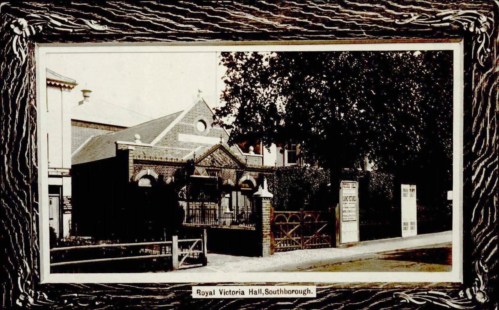
You can see here the buildings that neighboured the Royal Victoria Hall, now Hythe Close.


The Temperance Hotel sat opposite where the Hub is now, on the corner of Western Road and London Road.

The Bell Inn was in operation from the late 1850’s and was demolished in 2000. Extract from the Courier newspaper. Next door to the Inn is the Bat and Ball.

The Temperance Hotel is centre and the Bell Inn on the far right.

The Southborough Society unveiled the first of our green plaques in 2012 which feature notable people in our Town - Margaret Bondfield, Guy Maunsell, Ralph Usherwood, just to name a few. You might like to dip in to some of these concise articles to find out more about them by clicking on the link below.